One of the main benefits of groundwater compared to open surface water is its covering and protection by soil and unsaturated zone. Surface water bodies can be directly entered by pollutants and the immediate increase of concentrations will degrade the water quality and leads to changes in the ecosystem. If it’s only a short-term input of the pollutant in a fast streaming river, the pollutant concentration will decrease rapidly. But the regeneration of the polluted fauna and flora can take longer. Accumulations of pollutants in the riverbed can occur downstream where the stream flow is decreasing.
Although groundwater is much better protected from pollution it has to be protected also. Besides climatic factors and type of land use in particular the properties of the soil and unsaturated zone (porosity, adsorption, decay, etc.) determine whether and in what amount the pollutant will be leached out to the groundwater. The relatively slow groundwater velocity gives the pollutants a long time for decay.
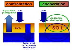
The best strategy for water suppliers concerning groundwater protection is the “integrated water resources management” for the catchment areas of the wells.
KRIETER WATER & ENVIRONMENT has over 30 years of experience in these fields and we are designing site specific exploration programs and management plans for water supplier. The aim is a sustainable, environmental friendly and cost saving drinking water abstraction respecting and integrating the activies of other land users (agriculture etc.) in the catchment area.
The KRIETER WATER & ENVIRONMENT exploration for groundwater protection plans and “integrated water resources management” is focused on:
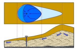
- determination of the surface and subterranean catchment area of the abstracting wells
- mapping of the distribution of land use and regarding their potential impacts on groundwater
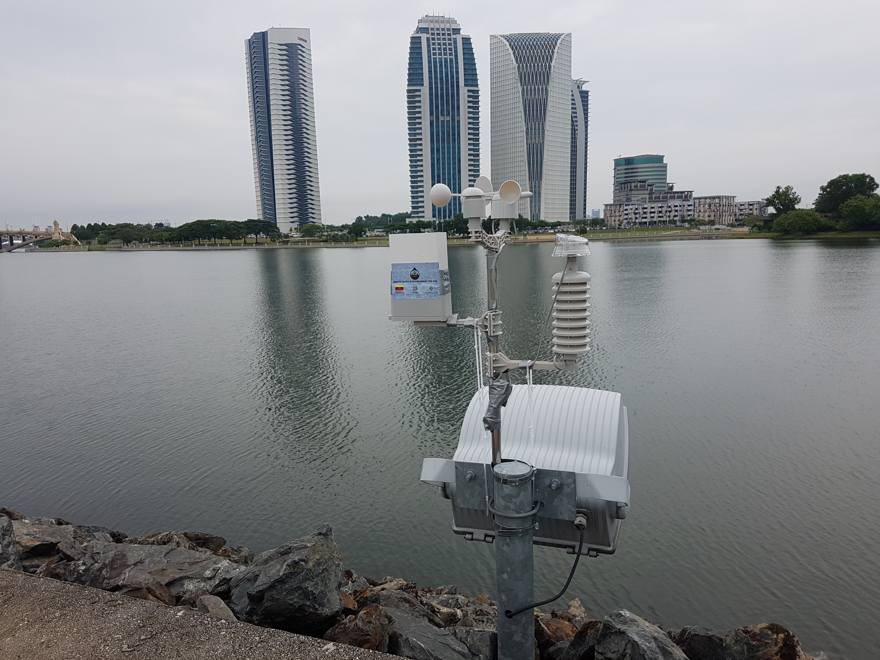
- measuring the actual leaching out of the different land users by multi-level wells
- calculation of water balance and groundwater recharge
- mapping and analyzing the properties of soils and unsaturated zone (thickness, texture, porosity and permeability, field capacity, cation exchange capacity, etc.)
- calculation of the retention time of gravitation water in the unsaturated zone
- development of conceptual hydrogeological model
- monitoring of groundwater table in observation wells
- calculation of flow direction and time
- calculation of aquifer properties (thickness, permeability, redox potentials, etc.)
- calculation of natural attenuation
- calculation of interactions between surface waters and groundwater
- site and land user specific regionalization of pollutions
- determination of protection zones for groundwater sources